 By the NAXTECH team · Published 18 Jul 2026 · Updated 10 Sept 2026 · Hands-on with v1.0
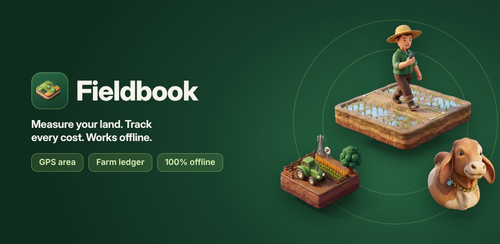
You are standing at the corner of a plot you need a number for — how many acres is it, really? — and the only answer you have is a guess someone made years ago. For most smallholders that guess quietly drives everything: how much seed to buy, what the rent should be, whether a harvest actually paid. Fieldbook was built to replace it with a measurement you take yourself, in a few minutes, without a surveyor and without a signal.
Fieldbook: Farm GPS & Ledger pairs a real GPS area meter with the two record books a farm actually keeps — money and animals — and keeps them on your device. Nothing here needs an account or a connection once the app is installed.
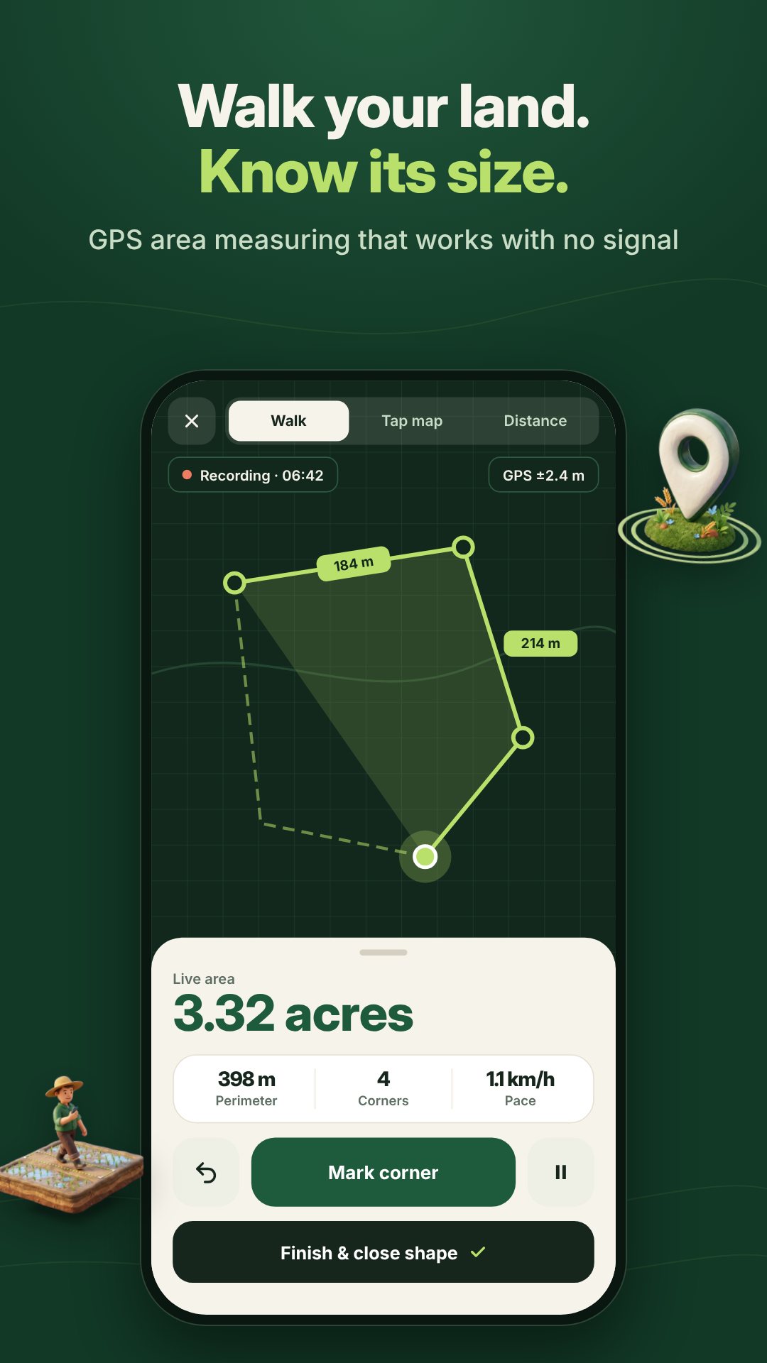
The measure screen gives you three ways to capture a plot. In Walk mode you turn on the GPS and walk the boundary while the app records the track and keeps the screen awake for you. In Tap mode you drop corner points on a pinch-to-zoom plan when walking is not practical. And Distance mode measures a straight line — a fence run, a row, a frontage. Area is computed with a shoelace calculation on a local metric projection, which stays accurate to well under 0.1% for farm-sized parcels, and a high-accuracy toggle switches the GPS to its best-for-navigation mode when you need the extra precision.
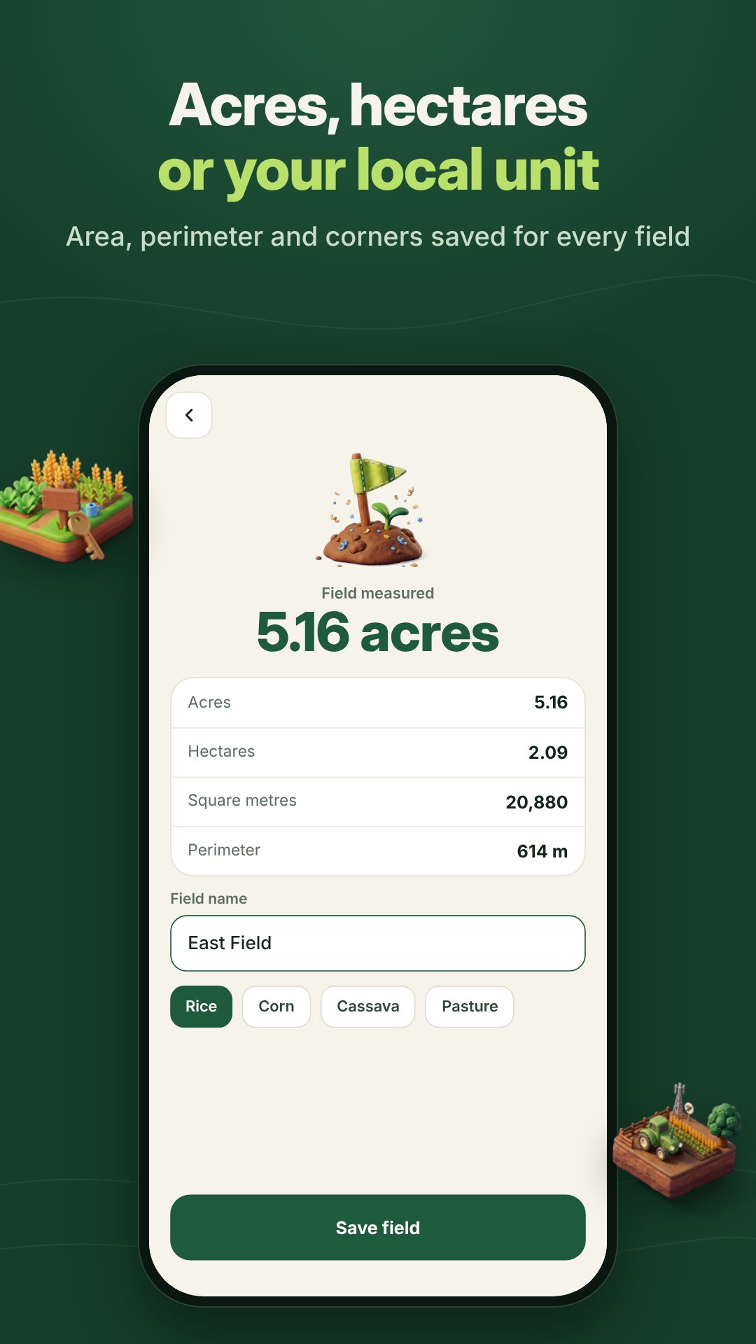
A hectare means nothing to a farmer who thinks in rai, and an acre means nothing to one who thinks in bigha. Fieldbook carries ten area units — rai, acre, hectare, square metres, bigha, mu, manzana, kanal, tarea and sào — and its bigha size is adjustable in settings because it varies by region. The built-in converter turns any measurement into any other unit, and for Thai land it breaks the result down the traditional way into rai, ngan and square wa.
The ledger uses categories a farm recognises on sight: on the expense side fertilizer, seeds, spray, labour, fuel, machinery, feed and vet; on the income side crop sale, produce, livestock sale, milk & eggs, rent, subsidy and contract. Entries can be tied to a field and a crop — rice, corn, cassava, sugarcane, wheat, soy, vegetables, fruit or pasture — and totals run in your own currency, chosen from more than thirty, so you can finally see whether a season made money.
Everything that matters — the GPS measurement, the area maths, the ledger totals and the PDF and Excel reports — runs on your phone with no account and no connection. That is deliberate: the places where you most need to measure a field are often the places with the weakest signal.
GPS accuracy depends on your phone and a clear view of the sky, so give the signal a moment to settle before you start walking, and keep the high-accuracy toggle on for small plots. The free version saves up to three fields; unlimited fields and an ad-free experience are a single optional in-app upgrade. The app contains ads.
Yes. GPS measuring, area conversion, the ledger and the PDF and Excel exports all run on your device, with no account and no connection required.
Ten: rai, acre, hectare, square metres, bigha, mu, manzana, kanal, tarea and sào, with an adjustable bigha size and a traditional rai–ngan–wa breakdown for Thai land.
Yes. Tap mode lets you drop corner points on a zoomable plan, and Distance mode measures a straight line such as a fence or a row.
It is free to download and saves up to three fields with ads; an optional one-time in-app purchase unlocks unlimited fields and removes ads.